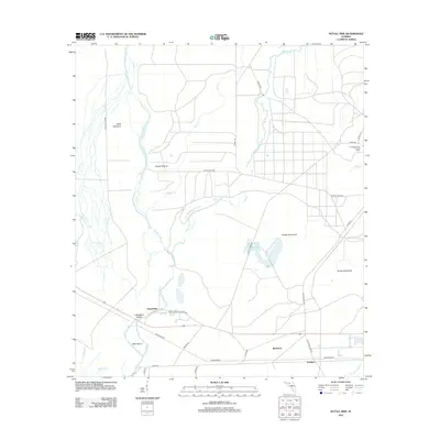
2012 Map of Nutall Rise
USGS Topo · Published 2012About this map
The Aucilla River and Wacissa River dominate this low-lying coastal plain in Florida's Big Bend, converging near the settlement of Nutall Rise. The landscape is defined by its complex hydrology and dense hammocks, including Powell Hammock and Bushy Hammock, which rise slightly above the surrounding wetlands. This 2012 survey shows a network of named tracks and timber roads, such as O'Neal Trl and Mandalay, carving through the wilderness toward remote outposts like Scanlon and the aptly named Hells Half Acre.
Find a feature on this map
31 named features on this map. Tap any name to fly to it.
Don’t see what you’re looking for? This feature index may not catch every label — zoom into the map to look around manually.
Map Details
Editions of this 2012 Nutall Rise Map
This is the sole edition of this map. No revisions or reprints were ever made.
Other maps of this area

1954 · Johnson Hammock
USGS Topo · 1:24,000

1954 · Cody
USGS Topo · 1:24,000

1954 · St. Marks NE
USGS Topo · 1:24,000

1954 · Cobb Rocks
USGS Topo · 1:24,000

1954 · Valdosta
USGS Topo · 1:250,000

1954 · Tallahassee
USGS Topo · 1:250,000

1955 · Snipe Island
USGS Topo · 1:24,000

1955 · Nutall Rise
USGS Topo · 1:24,000

1955 · Lamont SE
USGS Topo · 1:24,000

1955 · Manlin Hammock
USGS Topo · 1:24,000