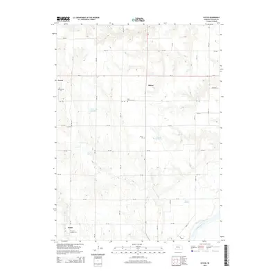
2014 Map of Nysted
USGS Topo · Published 2014About this map
Nysted and Farwell anchor this rural Howard County landscape, reflecting the diverse ethnic heritage of the Great Plains through its remarkably dense network of cemeteries. The map details a cultural geography marked by the Czechoslovakia Cem, Saint Wenceslaus Cem, Warsaw Cem, and the Nysted Evangelical Cem, each point serving as a sentinel for the region's immigrant history. The terrain is defined by the winding course of the Middle Loup River in the southeast corner and the many seasonal branches of Turkey Cr and Cow Cr that cut through the agricultural sections.
Find a feature on this map
34 named features on this map. Tap any name to fly to it.
Don’t see what you’re looking for? This feature index may not catch every label — zoom into the map to look around manually.
Map Details
Editions of this 2014 Nysted Map
This is the sole edition of this map. No revisions or reprints were ever made.
Other maps of this area

1899 · Loup
USGS Topo · 1:125,000

1899 · St. Paul
USGS Topo · 1:125,000

1953 · Dannebrog
USGS Topo · 1:24,000

1953 · Cotesfield
USGS Topo · 1:24,000

1953 · Boelus
USGS Topo · 1:24,000

1953 · Farwell
USGS Topo · 1:24,000

1953 · Nysted
USGS Topo · 1:24,000

1953 · Elba
USGS Topo · 1:24,000

1955 · Broken Bow
USGS Topo · 1:250,000

1955 · Wolbach SW
USGS Topo · 1:24,000