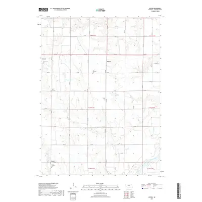
2017 Map of Nysted
USGS Topo · Published 2017About this map
Agricultural heritage and deep-seated immigrant roots define this portion of Howard County, where the village of Nysted and the town of Farwell anchor a landscape of rolling loess hills. The map reveals a cluster of burial grounds that reflect the area's diverse ethnic history, including the Czechoslovakia Cem, Saint Wenceslaus Cem, and Warsaw Cem. These sites, along with the Nysted Evangelical Cem and Scotch Cem, serve as primary landmarks for genealogical research in a region dominated by section-line roads like Naper Rd and Odell Rd.
Find a feature on this map
40 named features on this map. Tap any name to fly to it.
Don’t see what you’re looking for? This feature index may not catch every label — zoom into the map to look around manually.
Map Details
Editions of this 2017 Nysted Map
This is the sole edition of this map. No revisions or reprints were ever made.
Other maps of this area

1899 · Loup
USGS Topo · 1:125,000

1899 · St. Paul
USGS Topo · 1:125,000

1953 · Dannebrog
USGS Topo · 1:24,000

1953 · Cotesfield
USGS Topo · 1:24,000

1953 · Boelus
USGS Topo · 1:24,000

1953 · Farwell
USGS Topo · 1:24,000

1953 · Nysted
USGS Topo · 1:24,000

1953 · Elba
USGS Topo · 1:24,000

1955 · Broken Bow
USGS Topo · 1:250,000

1955 · Wolbach SW
USGS Topo · 1:24,000