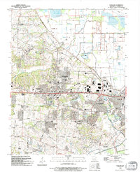
2021 Map of O'Fallon
USGS Topo · Published 2021About this map
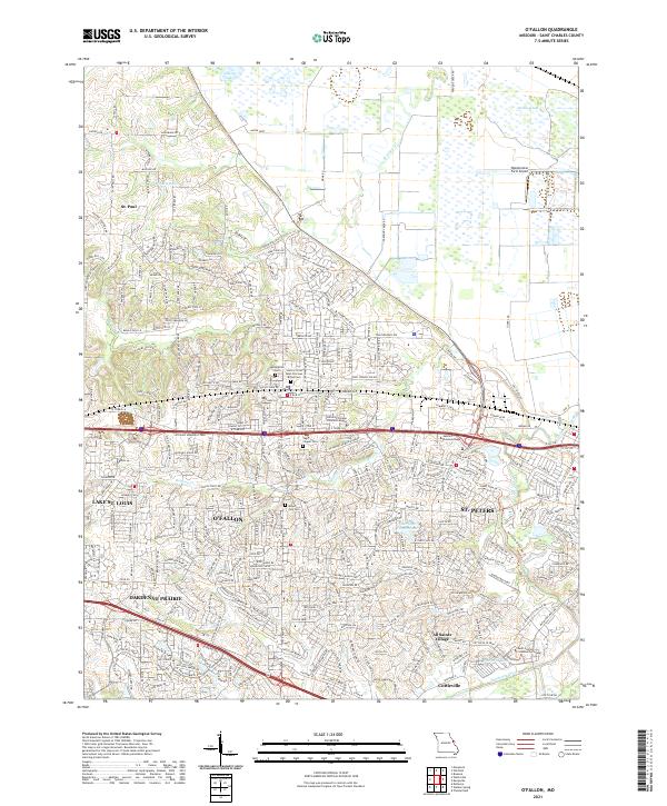
O'Fallon and its neighboring municipalities are shown here in a period of significant suburban development across St. Charles County. The landscape is a mix of residential expansion and preserved history, evidenced by several significant burial sites such as Mount Zion Cem and the Sisters of the Most Precious Blood Cem. Educational institutions like Vatterott College O'Fallon Campus and Saint Charles Community College anchor the growing communities of Dardenne Prairie and St. Peters.
Find a feature on this map
296 named features on this map. Tap any name to fly to it.
Don’t see what you’re looking for? This feature index may not catch every label — zoom into the map to look around manually.
Map Details
Editions of this 2021 O'Fallon Map
This is the sole edition of this map. No revisions or reprints were ever made.
Historical Maps of All Saints Village Through Time
5 maps found