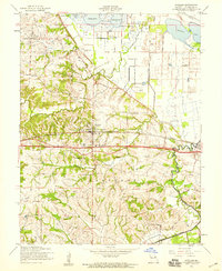
1954 Map of O'Fallon
USGS Topo · Published 1959About this map
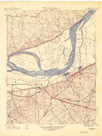
O'Fallon and St Peters anchor this mid-century survey of St. Charles County, where the transition from floodplains to upland ridges is clearly defined by an extensive Levee system and the winding courses of Peruque Creek and Dardenne Creek. The presence of Fort Zumwalt and its adjacent Ft Zumwalt Sch highlights the local historical importance of the area, while the St Marys Institute stands as a prominent landmark in the center of O'Fallon.
Find a feature on this map
24 named features on this map. Tap any name to fly to it.
Don’t see what you’re looking for? This feature index may not catch every label — zoom into the map to look around manually.
Map Details
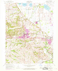
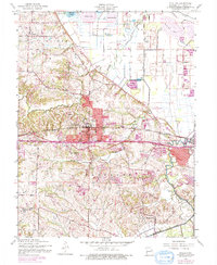
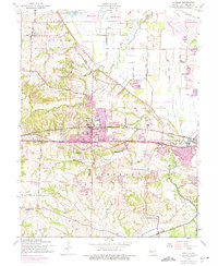
Editions of this 1954 O'Fallon Map
4 editions found
Other maps of this area

1903 · O'Fallon
USGS Topo · 1:125,000

1931 · Brussels
USGS Topo · 1:62,500

1932 · Manchester NE
USGS Topo · 1:24,000

1937 · Weldon Spring
USGS Topo · 1:24,000

1939 · Brussels
USGS Topo · 1:62,500

1940 · Weldon Spring
USGS Topo · 1:24,000

1941 · Troy
USGS Topo · 1:62,500

1943 · Brussels
USGS Topo · 1:62,500

1945 · Troy
USGS Topo · 1:62,500
1947 · Chesterfield
USGS Topo · 1:24,000