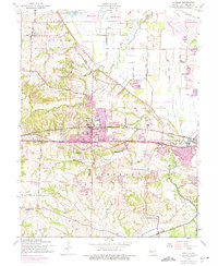
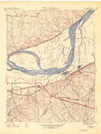
1954 Map of O'Fallon
USGS Topo · Published 1975About this map
The town of O'Fallon serves as a central hub on this mid-century survey, showing the transition from agricultural land to burgeoning suburban growth along the Norfolk and Western railroad line. Local history is deeply embedded in the map's religious and educational institutions, including the campus of St Marys College and the historical site of Fort Zumwalt State Park. The landscape is defined by the winding paths of Peruque Creek and Dardenne Creek, while a network of levees to the north protects the bottomlands near Maple Lake and Pallardy Lake. Genealogists will find significant detail in the placement of Assumption Cem, Mount Zion Cem, and Dardenne Ch. This edition includes purple photogrammetric revisions from 1968 and 1974, illustrating the rapid expansion of settlements like St Peters and All Saints Village during the post-war era.
Find a feature on this map
28 named features on this map. Tap any name to fly to it.
Don’t see what you’re looking for? This feature index may not catch every label — zoom into the map to look around manually.
Map Details
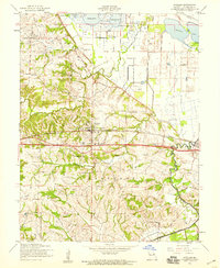
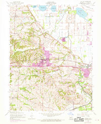
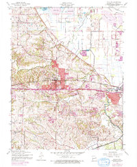
Editions of this 1954 O'Fallon Map
4 editions found
Other maps of this area

1903 · O'Fallon
USGS Topo · 1:125,000

1931 · Brussels
USGS Topo · 1:62,500

1932 · Manchester NE
USGS Topo · 1:24,000

1937 · Weldon Spring
USGS Topo · 1:24,000

1939 · Brussels
USGS Topo · 1:62,500

1940 · Weldon Spring
USGS Topo · 1:24,000

1941 · Troy
USGS Topo · 1:62,500

1943 · Brussels
USGS Topo · 1:62,500

1945 · Troy
USGS Topo · 1:62,500
1947 · Chesterfield
USGS Topo · 1:24,000