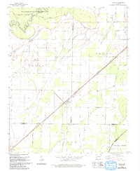
1965 Map of O'Kean
USGS Topo · Published 1993About this map
O'Kean serves as the central hub of this agricultural landscape in Northeast Arkansas, where the Missouri Pacific railroad cuts a straight diagonal through the lowlands of Randolph and Lawrence counties. The territory is defined by a complex drainage network, ranging from the meandering Black River and Current River in the northwest to an extensive system of engineered watercourses like Beaver Dam Ditch and Conley Ditch. These ditches reflect the mid-century transformation of the delta's wetlands into productive farmland.
Find a feature on this map
29 named features on this map. Tap any name to fly to it.
Don’t see what you’re looking for? This feature index may not catch every label — zoom into the map to look around manually.
Map Details
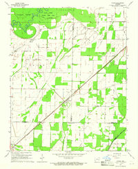
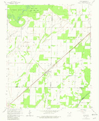
Editions of this 1965 O'Kean Map
3 editions found
Other maps of this area

1932 · Walnut Ridge
USGS Topo · 1:62,500

1935 · Knobel
USGS Topo · 1:62,500

1935 · Reyno
USGS Topo · 1:62,500

1935 · Walnut Ridge
USGS Topo · 1:62,500

1940 · Gainesville
USGS Topo · 1:62,500

1941 · Knobel
USGS Topo · 1:62,500

1957 · Poplar Bluff
USGS Topo · 1:250,000

1958 · Gainesville
USGS Topo · 1:62,500

1959 · Poplar Bluff
USGS Topo · 1:250,000
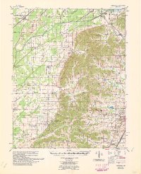
1960 · Gainesville
USGS Topo · 1:62,500