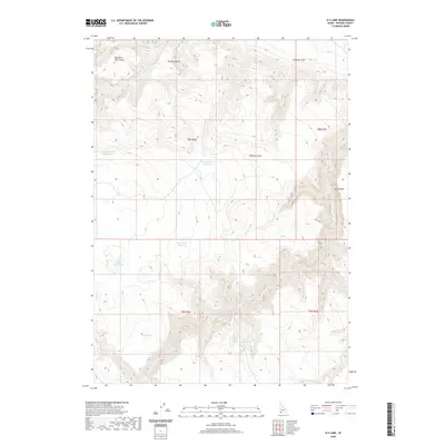
2020 Map of O X Lake
USGS Topo · Published 2020About this map
O X Lake and the nearby O X Prong form the heart of this high-desert Owyhee County drainage. The landscape is defined by its water management systems, including several reservoirs such as Whickney Tree Reservoir, Shearing Corral Reservoir, and Upper Slope Reservoir. These features, along with the natural Twin Lakes and Twin Lakes Reservoir, indicate the critical role of livestock ranching and range management in this arid Idaho interior.
Find a feature on this map
21 named features on this map. Tap any name to fly to it.
Don’t see what you’re looking for? This feature index may not catch every label — zoom into the map to look around manually.
Map Details
Editions of this 2020 O X Lake Map
This is the sole edition of this map. No revisions or reprints were ever made.
Other maps of this area
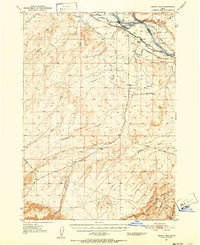
1947 · Grand View
USGS Topo · 1:62,500
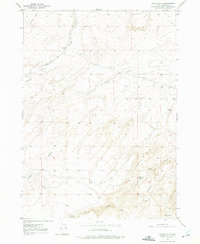
1947 · Chalk Hills
USGS Topo · 1:24,000
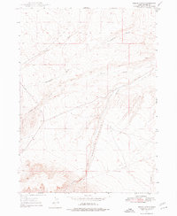
1947 · Perjue Canyon
USGS Topo · 1:24,000
1948 · Perjue Canyon
USGS Topo · 1:24,000
1948 · Chalk Hills
USGS Topo · 1:24,000

1955 · Jordan Valley
USGS Topo · 1:250,000

1957 · Jordan Valley
USGS Topo · 1:250,000

1958 · Jordan Valley
USGS Topo · 1:250,000
1972 · Hill Pasture
USGS Topo · 1:24,000
1972 · Rough Mountain
USGS Topo · 1:24,000