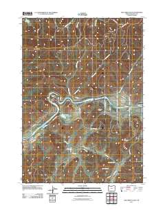
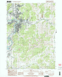
2011 Map of Oak Creek Valley
USGS Topo · Published 2011About this map
The North Umpqua River defines the heart of this Douglas County landscape, winding sharply through the prominent oxbow at Whistlers Bend. This early 21st-century survey illustrates a rural corridor where the river and its tributaries, such as Oak Creek and Cooper Creek, have carved distinct landforms including Singleton Valley and Oak Creek Valley. The terrain is characterized by named summits like Jack Mountain and Bald Mountain, while local infrastructure reflects a mix of aviation and agriculture, seen in the presence of the Umpqua Airport. For genealogists and local historians, the Oak Creek Cemetery sits as a central landmark along the valley floor. The map also documents a network of Bureau of Land Management routes, such as BLM 25-4-13.0 RD, providing access to high points like Wild Horse and High Point.
Find a feature on this map
38 named features on this map. Tap any name to fly to it.
Don’t see what you’re looking for? This feature index may not catch every label — zoom into the map to look around manually.
Map Details
Editions of this 2011 Oak Creek Valley Map
This is the sole edition of this map. No revisions or reprints were ever made.
Other maps of this area
1897 · Roseburg
USGS Topo · 1:125,000
1900 · Roseburg
USGS Topo · 1:125,000
1954 · Dixonville
USGS Topo · 1:62,500
1954 · Sutherlin
USGS Topo · 1:62,500
1954 · Glide
USGS Topo · 1:62,500
1955 · Roseburg
USGS Topo · 1:62,500

1958 · Roseburg
USGS Topo · 1:250,000

1959 · Roseburg
USGS Topo · 1:250,000
1979 · Roseburg
USGS Topo · 1:100,000
1987 · Roseburg East
USGS Topo · 1:24,000