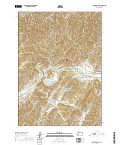
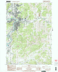
2020 Map of Oak Creek Valley
USGS Topo · Published 2020About this map
The North Umpqua River snakes through the heart of this Douglas County landscape, creating the dramatic horseshoe known as Whistlers Bend. This 2020 USGS survey highlights a transition between the river lowlands and the higher elevations of the Southern Oregon Coast Range. Settlement is concentrated along the riverbanks and within the fertile Oak Creek Valley and Singleton Valley, where the Oak Creek Cem serves as a local landmark for family history research.
Find a feature on this map
64 named features on this map. Tap any name to fly to it.
Don’t see what you’re looking for? This feature index may not catch every label — zoom into the map to look around manually.
Map Details
Editions of this 2020 Oak Creek Valley Map
This is the sole edition of this map. No revisions or reprints were ever made.
Other maps of this area
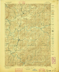
1897 · Roseburg
USGS Topo · 1:125,000
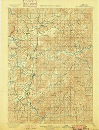
1900 · Roseburg
USGS Topo · 1:125,000
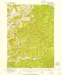
1954 · Dixonville
USGS Topo · 1:62,500
1954 · Sutherlin
USGS Topo · 1:62,500
1954 · Glide
USGS Topo · 1:62,500
1955 · Roseburg
USGS Topo · 1:62,500

1958 · Roseburg
USGS Topo · 1:250,000

1959 · Roseburg
USGS Topo · 1:250,000
1979 · Roseburg
USGS Topo · 1:100,000
1987 · Roseburg East
USGS Topo · 1:24,000