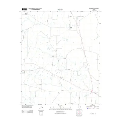
2012 Map of Oak Grove
USGS Topo · Published 2012About this map
Oak Grove sits at the heart of this landscape in Bowie County, situated where several regional roads converge. The area is defined by a dense network of small watercourses, including Mud Cr and Tanyard Cr, which drain the low-lying terrain. To the north, the small settlements of Spring Hill and Pine Springs are established near the upper reaches of Mill Cr. The layout of the road system, including the path of SW Front St near the eastern boundary, reveals the established rural infrastructure of the early 21st century. For local historians and genealogists, the map provides precise locations for significant community landmarks such as Garland Cem and De Kalb Cem, while Elkins Lake remains a prominent local water feature south of the primary settlement.
Find a feature on this map
47 named features on this map. Tap any name to fly to it.
Don’t see what you’re looking for? This feature index may not catch every label — zoom into the map to look around manually.
Map Details
Editions of this 2012 Oak Grove Map
This is the sole edition of this map. No revisions or reprints were ever made.
Other maps of this area
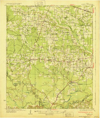
1930 · Bassett
USGS Topo · 1:62,500
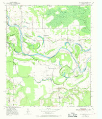
1950 · De Kalb NW
USGS Topo · 1:24,000
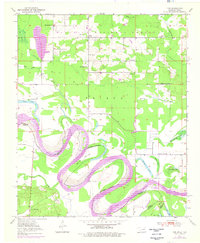
1950 · Tom
USGS Topo · 1:24,000
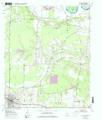
1950 · De Kalb
USGS Topo · 1:24,000
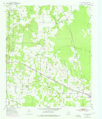
1950 · Oak Grove
USGS Topo · 1:24,000
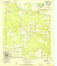
1951 · De Kalb
USGS Topo · 1:24,000
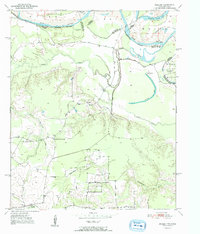
1951 · English
USGS Topo · 1:24,000
1951 · De Kalb NW
USGS Topo · 1:24,000
1951 · Tom
USGS Topo · 1:24,000
1951 · Oak Grove
USGS Topo · 1:24,000