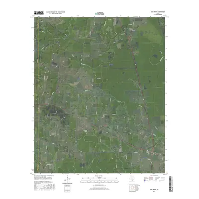
2016 Map of Oak Grove
USGS Topo · Published 2016About this map
De Kalb sits at the eastern edge of this East Texas terrain, serving as a focal point for a network of rural roads and county routes. The landscape transitions from the developed grid of the town to the scattered settlements of Oak Grove and Garland, reflecting the region's agricultural and timber-based layout. These communities are linked by routes like FM 1701 and FM 1326, which navigate around the numerous local waterways. To the south and east, Garland Cem and De Kalb Cem offer tangible links for genealogists researching family ties in Bowie County.
Find a feature on this map
50 named features on this map. Tap any name to fly to it.
Don’t see what you’re looking for? This feature index may not catch every label — zoom into the map to look around manually.
Map Details
Editions of this 2016 Oak Grove Map
This is the sole edition of this map. No revisions or reprints were ever made.
Other maps of this area
1930 · Bassett
USGS Topo · 1:62,500
1950 · De Kalb NW
USGS Topo · 1:24,000
1950 · Tom
USGS Topo · 1:24,000
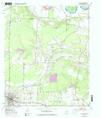
1950 · De Kalb
USGS Topo · 1:24,000
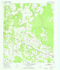
1950 · Oak Grove
USGS Topo · 1:24,000
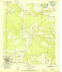
1951 · De Kalb
USGS Topo · 1:24,000
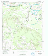
1951 · English
USGS Topo · 1:24,000
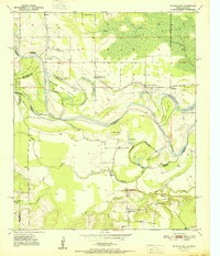
1951 · De Kalb NW
USGS Topo · 1:24,000
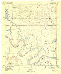
1951 · Tom
USGS Topo · 1:24,000
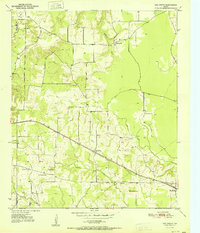
1951 · Oak Grove
USGS Topo · 1:24,000