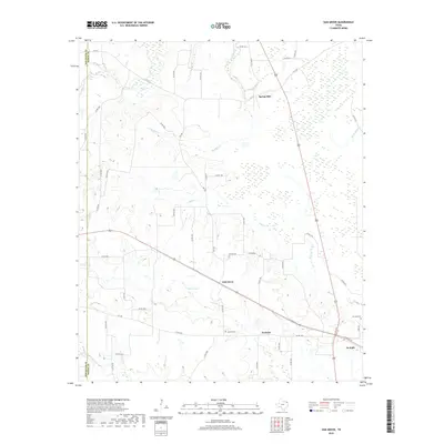
2019 Map of Oak Grove
USGS Topo · Published 2019About this map
Oak Grove and the neighboring settlements of Spring Hill and Garland occupy a landscape defined by the winding tributaries of the Red River. The terrain is marked by a complex network of county roads that connect these rural communities, including the central artery of Oak Grove located along the highway. To the south, the map captures the western edge of De Kalb, including the De Kalb Cem and the Garland Cem, providing valuable points of reference for genealogical research in Bowie County. Water features are a dominant characteristic of this region, with the serpentine paths of Tanyard Cr, Mud Cr, and Anderson Cr carving through the low-lying areas. The presence of Elkins Lake and the marshy expanses near Hooks Bayou illustrates the drainage patterns typical of this portion of East Texas, where the land transitions toward the river bottomlands.
Find a feature on this map
52 named features on this map. Tap any name to fly to it.
Don’t see what you’re looking for? This feature index may not catch every label — zoom into the map to look around manually.
Map Details
Editions of this 2019 Oak Grove Map
This is the sole edition of this map. No revisions or reprints were ever made.
Other maps of this area

1930 · Bassett
USGS Topo · 1:62,500

1950 · De Kalb NW
USGS Topo · 1:24,000

1950 · Tom
USGS Topo · 1:24,000

1950 · De Kalb
USGS Topo · 1:24,000

1950 · Oak Grove
USGS Topo · 1:24,000

1951 · De Kalb
USGS Topo · 1:24,000

1951 · English
USGS Topo · 1:24,000

1951 · De Kalb NW
USGS Topo · 1:24,000

1951 · Tom
USGS Topo · 1:24,000

1951 · Oak Grove
USGS Topo · 1:24,000