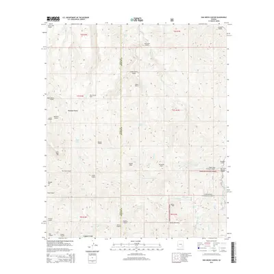
2014 Map of Oak Grove Canyon
USGS Topo · Published 2014About this map
Parsons Grove and Copper Creek anchor this high-elevation landscape along the boundary of Pinal and Graham Counties. The terrain is defined by the steep descents into Aravaipa Canyon and Fourmile Canyon, where water sources like Fourmile Springs and Garden Spring have long supported movement through the Galiuro Mountains. This 2014 survey captures a network of canyons and draws, including Sycamore Canyon and Wire Corral Draw, that reveal the drainage patterns toward the San Pedro Valley. The southeastern portion of the map is dominated by the Coronado National Forest, where prominent summits such as Turquoise Peak and Sixtysix Peak rise above the surrounding canyons. This map details the complex topography and named springs that have historically dictated human activity and settlement in this corner of the Arizona wilderness.
Find a feature on this map
62 named features on this map. Tap any name to fly to it.
Don’t see what you’re looking for? This feature index may not catch every label — zoom into the map to look around manually.
Map Details
Editions of this 2014 Oak Grove Canyon Map
This is the sole edition of this map. No revisions or reprints were ever made.
Other maps of this area
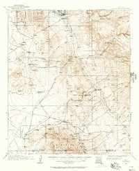
1911 · Winkelman
USGS Topo · 1:125,000
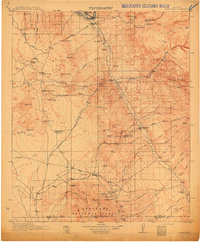
1913 · Winkelman
USGS Topo · 1:125,000
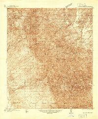
1938 · Galiuro Mts
USGS Topo · 1:48,000
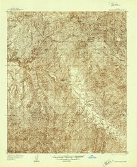
1938 · Klondyke
USGS Topo · 1:48,000
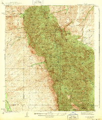
1943 · Galiuro Mts
USGS Topo · 1:62,500
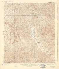
1943 · Klondyke
USGS Topo · 1:62,500
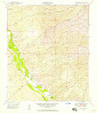
1948 · Clark Ranch
USGS Topo · 1:24,000
1948 · Mammoth
USGS Topo · 1:62,500
1949 · Clark Ranch
USGS Topo · 1:24,000
1949 · Holy Joe Peak
USGS Topo · 1:62,500