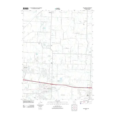
2012 Map of Oak Grove
USGS Topo · Published 2012About this map
Grain Valley and Oak Grove anchor the southern corridor of this eastern Jackson County landscape, where the suburban expansion of the Kansas City region meets the traditional farmsteads of the Missouri interior. The map illustrates a transitional geography defined by winding watercourses like Sni-A-Bar Creek and Blue Branch, which bisect the rolling terrain near Monkey Mountain. Small, long-standing settlements and crossroads such as Pink Hill, Hiler, and Bone Hill are scattered across the northern half of the sheet, often marked by localized landmarks like the Hiler Post Office and various family-named cemeteries. Transportation and aviation infrastructure is a notable theme, with the East Kansas City Airport and private facilities like the Action Gliderport and a north-central Landing Strip serving the area's growing population.
Find a feature on this map
103 named features on this map. Tap any name to fly to it.
Don’t see what you’re looking for? This feature index may not catch every label — zoom into the map to look around manually.
Map Details
Editions of this 2012 Oak Grove Map
This is the sole edition of this map. No revisions or reprints were ever made.
Other maps of this area

1887 · Harrisonville
USGS Topo · 1:125,000

1892 · Harrisonville
USGS Topo · 1:125,000

1894 · Harrisonville
USGS Topo · 1:125,000

1894 · Independence
USGS Topo · 1:125,000

1933 · Blue Springs
USGS Topo · 1:24,000

1934 · Oak Grove
USGS Topo · 1:24,000

1934 · Woods Chapel
USGS Topo · 1:24,000

1935 · Buckner
USGS Topo · 1:24,000

1935 · Missouri City
USGS Topo · 1:24,000

1935 · Tarsney
USGS Topo · 1:24,000