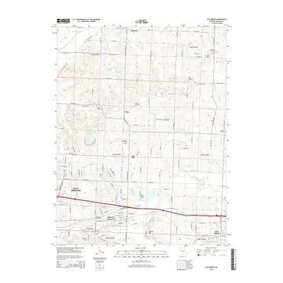
2014 Map of Oak Grove
USGS Topo · Published 2014About this map
Grain Valley and Oak Grove anchor the southern reaches of this landscape, where the suburban expansion of the Kansas City region meets the traditional rural topography of eastern Jackson County. The drainage patterns of Sni-A-Bar Cr and its tributaries, including Swiney Br and Tucker Br, define the local relief, which is punctuated by distinctive rises like Monkey Mtn and Bone Hill. A notable concentration of cemeteries, such as Buckner Hill Cemetery and the Mecklin Cemetery, provides significant documentation for genealogical research across this storied corridor.
Find a feature on this map
133 named features on this map. Tap any name to fly to it.
Don’t see what you’re looking for? This feature index may not catch every label — zoom into the map to look around manually.
Map Details
Editions of this 2014 Oak Grove Map
This is the sole edition of this map. No revisions or reprints were ever made.
Other maps of this area

1887 · Harrisonville
USGS Topo · 1:125,000

1892 · Harrisonville
USGS Topo · 1:125,000

1894 · Harrisonville
USGS Topo · 1:125,000

1894 · Independence
USGS Topo · 1:125,000

1933 · Blue Springs
USGS Topo · 1:24,000

1934 · Oak Grove
USGS Topo · 1:24,000

1934 · Woods Chapel
USGS Topo · 1:24,000

1935 · Buckner
USGS Topo · 1:24,000

1935 · Missouri City
USGS Topo · 1:24,000

1935 · Tarsney
USGS Topo · 1:24,000