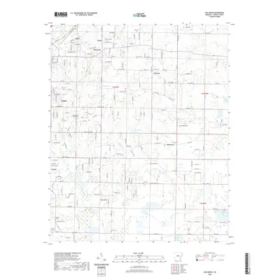
2020 Map of Oak Grove
USGS Topo · Published 2020About this map
Old Austin and the neighboring community of Austin anchor the northwestern portion of this Lonoke County landscape, where residential expansion from Cabot meets a countryside still defined by its small settlements and historical markers. The area is notable for its high concentration of local burial grounds, including the Camp Nelson Confederate Cem and the Old Austin Cem, which provide significant touchstones for genealogists tracing early regional families. Moving eastward, the terrain transitions into the creek valleys of Pigeon Roost Cr and the marshy reaches of Wattensaw Bayou. Smaller communities like Sylvania and Oak Grove are situated among a network of rural roads and water features such as Mintons Lake and Lake Lemay, reflecting a land use pattern of dispersed homesteads and small-scale agriculture that persists alongside the growing town of Ward.
Find a feature on this map
180 named features on this map. Tap any name to fly to it.
Don’t see what you’re looking for? This feature index may not catch every label — zoom into the map to look around manually.
Map Details
Editions of this 2020 Oak Grove Map
This is the sole edition of this map. No revisions or reprints were ever made.
Other maps of this area

1891 · Little Rock
USGS Topo · 1:125,000

1893 · Little Rock
USGS Topo · 1:125,000

1940 · Lonoke
USGS Topo · 1:62,500

1941 · Cabot
USGS Topo · 1:31,680

1943 · Jacksonville
USGS Topo · 1:31,680

1948 · Helena
USGS Topo · 1:250,000

1949 · Lonoke
USGS Topo · 1:62,500

1950 · Helena
USGS Topo · 1:250,000

1950 · Lonoke
USGS Topo · 1:62,500

1953 · Memphis
USGS Topo · 1:250,000