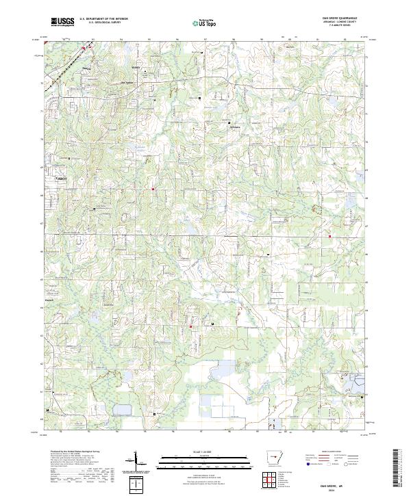
2024 Map of Oak Grove
USGS Topo · Published 2024About this map
Camp Nelson stands as a significant landmark in this Lonoke County landscape, situated near the Confederate Cem and the growing residential corridors of Cabot. The geography transitions from the suburban edges of Austin and Ward in the northwest to the rural church-and-cemetery crossroads of Sylvania and Parnell. This area is characterized by a dense network of local routes like W Old Austin Rd and Mount Tabor Rd that weave between numerous family and community burial grounds, including Old Austin Cem, Monk Cem, and Hicks Cem. Waterways such as Wattensaw Bayou and Pigeon Roost Creek define the low-lying drainage patterns south of the more established settlements, providing a clear view of how modern developments and historical rural sites coexist in this portion of Arkansas.
Find a feature on this map
95 named features on this map. Tap any name to fly to it.
Don’t see what you’re looking for? This feature index may not catch every label — zoom into the map to look around manually.
Map Details
Editions of this 2024 Oak Grove Map
This is the sole edition of this map. No revisions or reprints were ever made.
Other maps of this area

1891 · Little Rock
USGS Topo · 1:125,000

1893 · Little Rock
USGS Topo · 1:125,000

1940 · Lonoke
USGS Topo · 1:62,500

1941 · Cabot
USGS Topo · 1:31,680

1943 · Jacksonville
USGS Topo · 1:31,680

1948 · Helena
USGS Topo · 1:250,000

1949 · Lonoke
USGS Topo · 1:62,500

1950 · Helena
USGS Topo · 1:250,000

1950 · Lonoke
USGS Topo · 1:62,500

1953 · Memphis
USGS Topo · 1:250,000