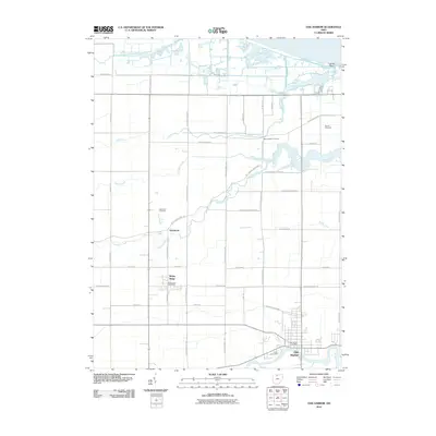
2010 Map of Oak Harbor
USGS Topo · Published 2010About this map
The Portage River winds through the southern reaches of this landscape, anchoring the village of Oak Harbor, where the local Oak Harbor Post Office and Union Cemetery mark the community's heart. This area of Ottawa County is defined by its complex drainage network, where the Toussaint River, Toussaint Creek, and Turtle Creek flow toward the Lake Erie shoreline near Locust Point. To the northwest, the small settlements of Limestone and Rocky Ridge are situated along a grid of rural roads, with the Rockyridge Post Office and Limestone Cemetery serving these more isolated clusters. The presence of Moore Orchards suggests the agricultural heritage of the region, while numerous waterways like Packer Creek and Rusha Creek underscore the low-lying, marsh-adjacent character of the terrain just inland from the coast.
Find a feature on this map
50 named features on this map. Tap any name to fly to it.
Don’t see what you’re looking for? This feature index may not catch every label — zoom into the map to look around manually.
Map Details
Editions of this 2010 Oak Harbor Map
This is the sole edition of this map. No revisions or reprints were ever made.
Other maps of this area

1900 · Maumee Bay
USGS Topo · 1:62,500

1900 · Oak Harbor
USGS Topo · 1:62,500

1901 · Fremont
USGS Topo · 1:62,500

1901 · Elmore
USGS Topo · 1:62,500

1903 · Fremont
USGS Topo · 1:62,500

1903 · Elmore
USGS Topo · 1:62,500

1934 · Reno Beach
USGS Topo · 1:24,000

1935 · Genoa
USGS Topo · 1:24,000
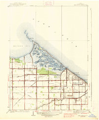
1938 · Reno Beach
USGS Topo · 1:31,680
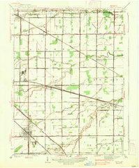
1938 · Genoa
USGS Topo · 1:31,680