
1952 Map of Oak Harbor
USGS Topo · Published 1953About this map
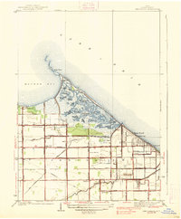
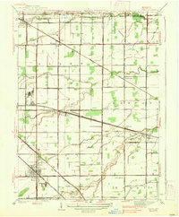
Oak Harbor sits at the confluence of several regional networks in Ottawa County during the early 1950s, bounded by the Portage River to the south and the Lake Erie shoreline to the north. The landscape is defined by the extensive Magee Marsh State Reservation and a complex drainage system including Turtle Creek, Packer Creek, and the Toussaint River. This survey reveals the area's transition from the coastal wetlands of Big Sand Bay and Locust Point to the agricultural grid of Benton and Carroll townships. Transportation is dominated by two major rail lines, the New York Central and the New York Chicago and St Louis, which connect the inland settlements of Rocky Ridge and Limestone. Local life is anchored by landmarks like the Carroll Township Sch and St Joseph Cem, alongside a dense network of rural roads such as Walbridge Road and Trowbridge Road.
Find a feature on this map
35 named features on this map. Tap any name to fly to it.
Don’t see what you’re looking for? This feature index may not catch every label — zoom into the map to look around manually.
Map Details
Editions of this 1952 Oak Harbor Map
This is the sole edition of this map. No revisions or reprints were ever made.
Other maps of this area

1900 · Maumee Bay
USGS Topo · 1:62,500

1900 · Oak Harbor
USGS Topo · 1:62,500

1901 · Fremont
USGS Topo · 1:62,500

1901 · Elmore
USGS Topo · 1:62,500

1903 · Fremont
USGS Topo · 1:62,500

1903 · Elmore
USGS Topo · 1:62,500

1934 · Reno Beach
USGS Topo · 1:24,000

1935 · Genoa
USGS Topo · 1:24,000
1938 · Reno Beach
USGS Topo · 1:31,680
1938 · Genoa
USGS Topo · 1:31,680