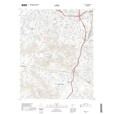
2019 Map of Oak Hill
USGS Topo · Published 2019About this map
Nashville's southern suburban expansion is documented here, where the rolling hills of the Central Basin transition into the residential communities of Belle Meade, Oak Hill, and Forest Hills. The landscape is defined by the headwaters of several drainage systems, including the Little Harpeth River and Richland Creek, which carve through the terrain between prominent landmarks like Atchinsons Gap. Large green spaces and conservation areas provide a counterpoint to the dense road network, most notably Radnor Lake with its surrounding S Cove and Lake Trail.
Find a feature on this map
40 named features on this map. Tap any name to fly to it.
Don’t see what you’re looking for? This feature index may not catch every label — zoom into the map to look around manually.
Map Details
Editions of this 2019 Oak Hill Map
This is the sole edition of this map. No revisions or reprints were ever made.
Other maps of this area

1903 · Nashville
USGS Topo · 1:125,000

1909 · Franklin
USGS Topo · 1:62,500

1932 · Hermitage
USGS Topo · 1:62,500

1932 · Nashville
USGS Topo · 1:62,500

1942 · Lebanon
USGS Topo · 1:100,000

1946 · Leipers Fork
USGS Topo · 1:24,000

1949 · Leipers Fork
USGS Topo · 1:24,000

1949 · Franklin
USGS Topo · 1:24,000

1952 · Nashville West
USGS Topo · 1:24,000

1952 · Nashville East
USGS Topo · 1:24,000