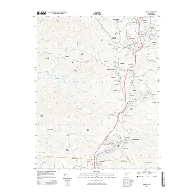
2014 Map of Oak Hill
USGS Topo · Published 2014About this map
Oak Hill and Mount Hope anchor a landscape defined by the dense coal-country settlements of Fayette County. The map details a corridor of communities including Glen Jean, Whipple, and Scarbro, connected by the Mountaineer Expy and the historical winding routes of WV-61 and WV-16. To the west, the terrain shifts from the industrial and residential clusters toward the managed waters of Plum Orchard Lake, tucked behind Haystack Mtn.
Find a feature on this map
143 named features on this map. Tap any name to fly to it.
Don’t see what you’re looking for? This feature index may not catch every label — zoom into the map to look around manually.
Map Details
Editions of this 2014 Oak Hill Map
This is the sole edition of this map. No revisions or reprints were ever made.
Other maps of this area

1891 · Raleigh
USGS Topo · 1:125,000

1897 · Kanawha Falls
USGS Topo · 1:125,000

1897 · Raleigh
USGS Topo · 1:125,000

1900 · Kanawha Falls
USGS Topo · 1:125,000

1901 · Kanawha Falls
USGS Topo · 1:125,000

1902 · Raleigh
USGS Topo · 1:125,000

1908 · Fayetteville
USGS Topo · 1:48,000

1908 · Montgomery
USGS Topo · 1:48,000

1910 · Fayetteville
USGS Topo · 1:62,500

1910 · Montgomery
USGS Topo · 1:62,500