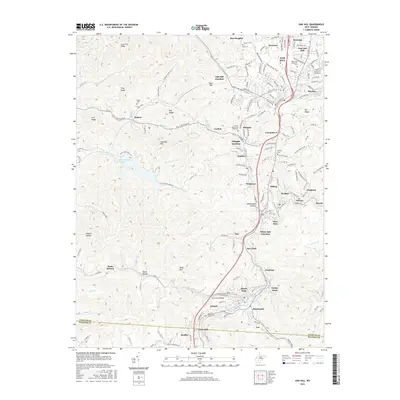
2016 Map of Oak Hill
USGS Topo · Published 2016About this map
Oak Hill and Mount Hope anchor a landscape defined by its network of coal-era settlements and tributary hollows along the Fayette and Raleigh county line. The map captures a densely populated corridor where towns such as Glen Jean, Kilsyth, and Scarbro follow the winding path of Dunloup Creek. Further east, the community of Minden is tucked into the drainage of Arbuckle Creek, illustrating the characteristic development pattern of the West Virginia plateau.
Find a feature on this map
183 named features on this map. Tap any name to fly to it.
Don’t see what you’re looking for? This feature index may not catch every label — zoom into the map to look around manually.
Map Details
Editions of this 2016 Oak Hill Map
This is the sole edition of this map. No revisions or reprints were ever made.
Other maps of this area

1891 · Raleigh
USGS Topo · 1:125,000

1897 · Kanawha Falls
USGS Topo · 1:125,000

1897 · Raleigh
USGS Topo · 1:125,000

1900 · Kanawha Falls
USGS Topo · 1:125,000

1901 · Kanawha Falls
USGS Topo · 1:125,000

1902 · Raleigh
USGS Topo · 1:125,000

1908 · Fayetteville
USGS Topo · 1:48,000

1908 · Montgomery
USGS Topo · 1:48,000

1910 · Fayetteville
USGS Topo · 1:62,500

1910 · Montgomery
USGS Topo · 1:62,500