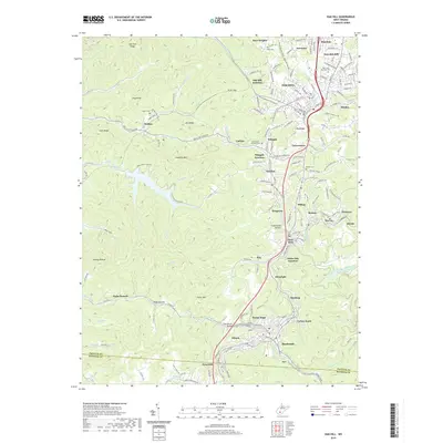
2019 Map of Oak Hill
USGS Topo · Published 2019About this map
Oak Hill and the surrounding coal country of Fayette County are shown here as a dense network of residential clusters and historical industrial sites. The landscape is defined by its deep hollows and ridges, such as Lick Fork Ridge and Haystack Mtn, which separate communities like Minden, Scarbro, and Glen Jean. The conversion of former industrial corridors into recreational assets is visible through the White Oak Rail-Trail and the Mount Hope Rail-Trail, tracing the routes that once moved coal through the region.
Find a feature on this map
180 named features on this map. Tap any name to fly to it.
Don’t see what you’re looking for? This feature index may not catch every label — zoom into the map to look around manually.
Map Details
Editions of this 2019 Oak Hill Map
This is the sole edition of this map. No revisions or reprints were ever made.
Other maps of this area

1891 · Raleigh
USGS Topo · 1:125,000

1897 · Kanawha Falls
USGS Topo · 1:125,000

1897 · Raleigh
USGS Topo · 1:125,000

1900 · Kanawha Falls
USGS Topo · 1:125,000

1901 · Kanawha Falls
USGS Topo · 1:125,000

1902 · Raleigh
USGS Topo · 1:125,000

1908 · Fayetteville
USGS Topo · 1:48,000

1908 · Montgomery
USGS Topo · 1:48,000

1910 · Fayetteville
USGS Topo · 1:62,500

1910 · Montgomery
USGS Topo · 1:62,500