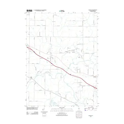
2012 Map of Oak Hill
USGS Topo · Published 2012About this map
Kickapoo Creek and its many tributaries, including West Fork Kickapoo Creek and Fargo Run, carve a complex drainage pattern through this Peoria County landscape. The area is defined by a dense network of rural cemeteries and public lands, most notably the sprawling Jubilee College State Park in the northeast quadrant. This park features numerous recreation areas such as the Turkey Hollow Picnic Area and Red Fox Run Picnic Area.
Find a feature on this map
95 named features on this map. Tap any name to fly to it.
Don’t see what you’re looking for? This feature index may not catch every label — zoom into the map to look around manually.
Map Details
Editions of this 2012 Oak Hill Map
This is the sole edition of this map. No revisions or reprints were ever made.
Other maps of this area

1893 · Dunlap
USGS Topo · 1:62,500

1898 · Dunlap
USGS Topo · 1:62,500

1905 · Peoria
USGS Topo · 1:62,500

1927 · Peoria
USGS Topo · 1:62,500

1930 · Glasford
USGS Topo · 1:62,500

1932 · Dunlap
USGS Topo · 1:62,500

1933 · Dunlap
USGS Topo · 1:62,500

1937 · Dunlap
USGS Topo · 1:62,500

1944 · Elmwood
USGS Topo · 1:62,500

1948 · Elmwood
USGS Topo · 1:62,500