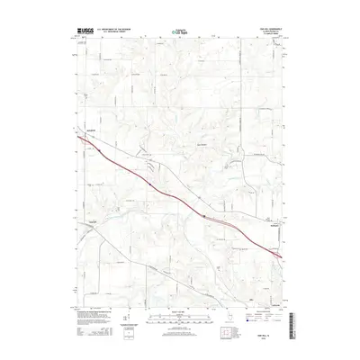
2015 Map of Oak Hill
USGS Topo · Published 2015About this map
Kickapoo Creek and its many tributaries, including Tiber Cr and Nixon Run, define the drainage patterns of this Peoria County landscape. The area is characterized by several small clusters of settlement such as Oak Hill, Brimfield, and Kickapoo, connected by a grid of rural roads like W Southport Rd and N Princeville Jubilee Rd.
Find a feature on this map
79 named features on this map. Tap any name to fly to it.
Don’t see what you’re looking for? This feature index may not catch every label — zoom into the map to look around manually.
Map Details
Editions of this 2015 Oak Hill Map
This is the sole edition of this map. No revisions or reprints were ever made.
Other maps of this area
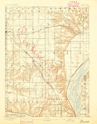
1893 · Dunlap
USGS Topo · 1:62,500
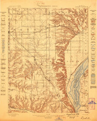
1898 · Dunlap
USGS Topo · 1:62,500
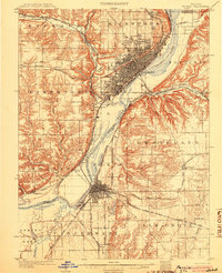
1905 · Peoria
USGS Topo · 1:62,500
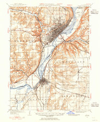
1927 · Peoria
USGS Topo · 1:62,500
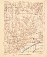
1930 · Glasford
USGS Topo · 1:62,500
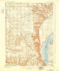
1932 · Dunlap
USGS Topo · 1:62,500
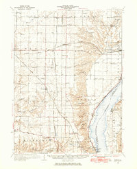
1933 · Dunlap
USGS Topo · 1:62,500
1937 · Dunlap
USGS Topo · 1:62,500
1944 · Elmwood
USGS Topo · 1:62,500
1948 · Elmwood
USGS Topo · 1:62,500