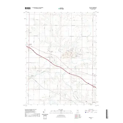
2021 Map of Oak Hill
USGS Topo · Published 2021About this map
Jubilee College State Park dominates the central landscape of this western Peoria County region, preserving the site of one of Illinois' earliest educational institutions. The park's grounds are crisscrossed by a network of recreational paths including Plank Trl and Picnic Trl, while the historic Jubilee Churchyard Cem remains as a tangible link to the mid-19th-century episcopal college community. To the west, the village of Brimfield serves as a local hub, situated near the headwaters of Tiber Cr.
Find a feature on this map
92 named features on this map. Tap any name to fly to it.
Don’t see what you’re looking for? This feature index may not catch every label — zoom into the map to look around manually.
Map Details
Editions of this 2021 Oak Hill Map
This is the sole edition of this map. No revisions or reprints were ever made.
Other maps of this area

1893 · Dunlap
USGS Topo · 1:62,500

1898 · Dunlap
USGS Topo · 1:62,500

1905 · Peoria
USGS Topo · 1:62,500

1927 · Peoria
USGS Topo · 1:62,500

1930 · Glasford
USGS Topo · 1:62,500

1932 · Dunlap
USGS Topo · 1:62,500

1933 · Dunlap
USGS Topo · 1:62,500

1937 · Dunlap
USGS Topo · 1:62,500

1944 · Elmwood
USGS Topo · 1:62,500

1948 · Elmwood
USGS Topo · 1:62,500