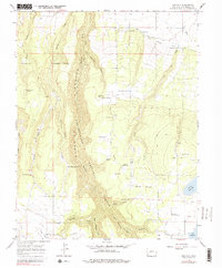
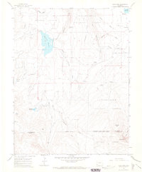
1964 Map of Oak Hill
USGS Topo · Published 1979About this map
Naturita Creek and its complex network of seasonal draws carve through this section of the Uncompahgre National Forest as it appeared in the mid-1960s. The landscape is defined by an extensive water management system necessary for ranching and survival in this arid high-country environment, featuring numerous small catchments like Ed Joe Reservoir, Allen Reservoir, and Bull Pond. The map reveals a history of pioneer-era settlement and land use through landmarks such as Williams Cabin and several family-named water sources, including Herndon Spring and Cy Orr Spring.
Find a feature on this map
54 named features on this map. Tap any name to fly to it.
Don’t see what you’re looking for? This feature index may not catch every label — zoom into the map to look around manually.
Map Details
Editions of this 1964 Oak Hill Map
4 editions found
Other maps of this area

1956 · Cortez
USGS Topo · 1:250,000

1956 · Moab
USGS Topo · 1:250,000

1958 · Cortez
USGS Topo · 1:250,000

1959 · Cortez
USGS Topo · 1:250,000

1959 · Moab
USGS Topo · 1:250,000

1960 · Moab
USGS Topo · 1:250,000

1962 · Moab
USGS Topo · 1:250,000

1962 · Cortez
USGS Topo · 1:250,000

1964 · Moab
USGS Topo · 1:250,000
1964 · Lone Cone
USGS Topo · 1:24,000