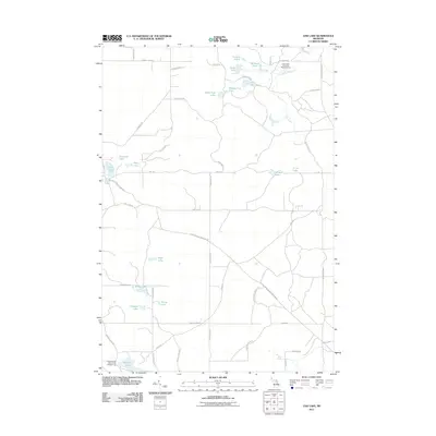
2011 Map of Oak Lake
USGS Topo · Published 2011About this map
Hunt Creek Fisheries Research Area anchors the northeastern portion of this northern Michigan landscape, where a dense network of cold-water streams and ponds defines the terrain. The area is characterized by an exceptional concentration of glacial lakes, from the clusters of East Fish Lake, West Fish Lake, and Middle Fish Lake in the north to the larger Muskrat Lake in the south. The southern edge features the Muskrat Lake State Forest Campground, highlighting the region's role in public recreation and conservation.
Find a feature on this map
50 named features on this map. Tap any name to fly to it.
Don’t see what you’re looking for? This feature index may not catch every label — zoom into the map to look around manually.
Map Details
Editions of this 2011 Oak Lake Map
This is the sole edition of this map. No revisions or reprints were ever made.
Other maps of this area

1949 · Lewiston
USGS Topo · 1:62,500

1950 · Lewiston
USGS Topo · 1:24,000

1950 · Comstock Hills
USGS Topo · 1:24,000

1951 · Comstock Hills
USGS Topo · 1:24,000

1951 · Lewiston
USGS Topo · 1:24,000

1954 · Traverse City
USGS Topo · 1:250,000

1955 · Comins
USGS Topo · 1:62,500

1958 · Traverse City
USGS Topo · 1:250,000

1963 · Red Oak
USGS Topo · 1:24,000

1972 · Mio
USGS Topo · 1:24,000