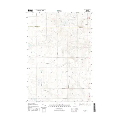
2014 Map of Oak Lake
USGS Topo · Published 2014About this map
Glacial lakes and wetlands define the borderlands of Montmorency and Oscoda counties in this northern Michigan survey. The hydrology is complex, centered on clusters of interconnected basins including West Fish Lake, Middle Fish Lake, and East Fish Lake. To the north, Hunt Cr and Fuller Cr drain through marshy lowlands near Sutton Pond and Marshall Pond. The landscape is etched with a network of local roads that follow section lines and topography, such as Granholm Rd, Oak Lake Rd, and Nancy Brown Rd. Several family-named lakes, including Rudd Lake and Young Lake, point to a history of local landownership and seasonal recreation. The presence of Indian Lake, Noodles Lake, and Muskrat Lake further south suggests a terrain largely shaped by post-glacial drainage patterns, maintaining much of its rural and undeveloped character into the twenty-first century.
Find a feature on this map
56 named features on this map. Tap any name to fly to it.
Don’t see what you’re looking for? This feature index may not catch every label — zoom into the map to look around manually.
Map Details
Editions of this 2014 Oak Lake Map
This is the sole edition of this map. No revisions or reprints were ever made.
Other maps of this area

1949 · Lewiston
USGS Topo · 1:62,500

1950 · Lewiston
USGS Topo · 1:24,000

1950 · Comstock Hills
USGS Topo · 1:24,000

1951 · Comstock Hills
USGS Topo · 1:24,000

1951 · Lewiston
USGS Topo · 1:24,000

1954 · Traverse City
USGS Topo · 1:250,000

1955 · Comins
USGS Topo · 1:62,500

1958 · Traverse City
USGS Topo · 1:250,000

1963 · Red Oak
USGS Topo · 1:24,000

1972 · Mio
USGS Topo · 1:24,000