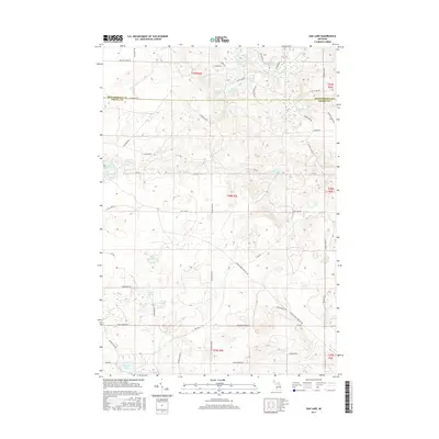
2017 Map of Oak Lake
USGS Topo · Published 2017About this map
Bushman Swamp and a dense network of glacial kettle lakes define this northern Michigan landscape along the boundary of Montmorency and Oscoda counties. The terrain is characterized by a high concentration of water bodies in the northern and western sections, including Oak Lake, Fuller Lake, and the trio of W Fish Lake, Middle Fish Lake, and E Fish Lake.
Find a feature on this map
52 named features on this map. Tap any name to fly to it.
Don’t see what you’re looking for? This feature index may not catch every label — zoom into the map to look around manually.
Map Details
Editions of this 2017 Oak Lake Map
This is the sole edition of this map. No revisions or reprints were ever made.
Other maps of this area

1949 · Lewiston
USGS Topo · 1:62,500

1950 · Lewiston
USGS Topo · 1:24,000

1950 · Comstock Hills
USGS Topo · 1:24,000

1951 · Comstock Hills
USGS Topo · 1:24,000

1951 · Lewiston
USGS Topo · 1:24,000

1954 · Traverse City
USGS Topo · 1:250,000

1955 · Comins
USGS Topo · 1:62,500

1958 · Traverse City
USGS Topo · 1:250,000

1963 · Red Oak
USGS Topo · 1:24,000

1972 · Mio
USGS Topo · 1:24,000