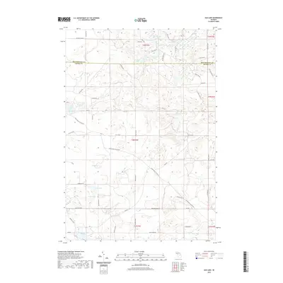
2019 Map of Oak Lake
USGS Topo · Published 2019About this map
The county line between Montmorency Co and Oscoda Co bisects a landscape defined by an intricate network of kettle lakes and wetlands in the northern lower peninsula. This 2019 survey captures a quiet, wooded region where water features like Bushman Swamp and the triplet chain of West Fish Lake, Middle Fish Lake, and East Fish Lake dominate the geography. The road network is largely composed of local connectors and trails such as Pennsylvania Crossing Rd and Snake Branch Rd, suggesting a landscape focused on forestry or seasonal recreation rather than dense settlement. Genealogists and local researchers can use these named water bodies, including the isolated Noodles Lake and Indian Lake, to pinpoint family camps or property boundaries within the townships of T28N R2E and T29N R2E.
Find a feature on this map
59 named features on this map. Tap any name to fly to it.
Don’t see what you’re looking for? This feature index may not catch every label — zoom into the map to look around manually.
Map Details
Editions of this 2019 Oak Lake Map
This is the sole edition of this map. No revisions or reprints were ever made.
Other maps of this area

1949 · Lewiston
USGS Topo · 1:62,500

1950 · Lewiston
USGS Topo · 1:24,000

1950 · Comstock Hills
USGS Topo · 1:24,000

1951 · Comstock Hills
USGS Topo · 1:24,000

1951 · Lewiston
USGS Topo · 1:24,000

1954 · Traverse City
USGS Topo · 1:250,000

1955 · Comins
USGS Topo · 1:62,500

1958 · Traverse City
USGS Topo · 1:250,000

1963 · Red Oak
USGS Topo · 1:24,000

1972 · Mio
USGS Topo · 1:24,000