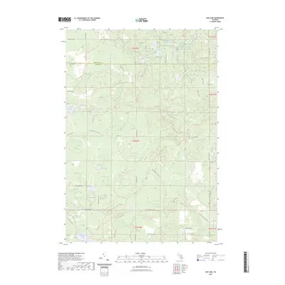
2023 Map of Oak Lake
USGS Topo · Published 2023About this map
Oak Lake and its surrounding wetlands define this portion of the Montmorency Co and Oscoda Co border in northern Michigan. The landscape is characterized by a dense network of glacial lakes and ponds, including the clustered Middle Fish Lake, East Fish Lake, and West Fish Lake near the northern boundary. While there are no major towns, the area is woven together by a complex system of local roads and recreational paths such as the Hunt Creek Motorcycle Trl and various segments of the Mio Trl.
Find a feature on this map
58 named features on this map. Tap any name to fly to it.
Don’t see what you’re looking for? This feature index may not catch every label — zoom into the map to look around manually.
Map Details
Editions of this 2023 Oak Lake Map
This is the sole edition of this map. No revisions or reprints were ever made.
Other maps of this area

1949 · Lewiston
USGS Topo · 1:62,500

1950 · Lewiston
USGS Topo · 1:24,000

1950 · Comstock Hills
USGS Topo · 1:24,000

1951 · Comstock Hills
USGS Topo · 1:24,000

1951 · Lewiston
USGS Topo · 1:24,000

1954 · Traverse City
USGS Topo · 1:250,000

1955 · Comins
USGS Topo · 1:62,500

1958 · Traverse City
USGS Topo · 1:250,000

1963 · Red Oak
USGS Topo · 1:24,000

1972 · Mio
USGS Topo · 1:24,000