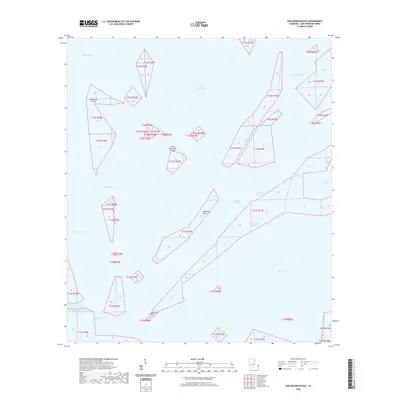
2020 Map of Oak Mound Bayou
USGS Topo · Published 2020About this map
Oak Mound Bayou winds through the salt marshes and maritime edges of Saint Bernard Parish in this coastal survey. The landscape is defined by an intricate network of tidal waterways, including Dutchman Pass and Southwest Pass, which separate the mainland from fragmented terrain like the Mud Grass Islands. These islands and the surrounding waters, such as Fishing Smack Bay and Drum Bay, illustrate the fluid nature of the Louisiana coastline where land gradually dissolves into the Gulf. Named points of interest for local history include Anderson Point and the evocative Deadmans Bayou, alongside Bayou Tobacco and Bayou De Soto. This map records the precise layout of sections and townships across this aquatic environment, showing how survey lines were established even over open water and marsh.
Find a feature on this map
25 named features on this map. Tap any name to fly to it.
Don’t see what you’re looking for? This feature index may not catch every label — zoom into the map to look around manually.
Map Details
Editions of this 2020 Oak Mound Bayou Map
This is the sole edition of this map. No revisions or reprints were ever made.
Other maps of this area
1893 · Cat Island
USGS Topo · 1:62,500
1893 · Chandeleur
USGS Topo · 1:62,500
1893 · Toulme
USGS Topo · 1:62,500
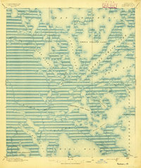
1895 · Bodreau
USGS Topo · 1:62,500
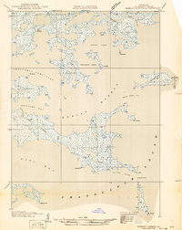
1935 · Morgan Harbor
USGS Topo · 1:31,680
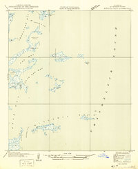
1935 · Mitchell Keys
USGS Topo · 1:31,680
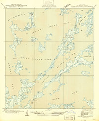
1946 · Oak Mound Bayou
USGS Topo · 1:31,680
1946 · Lake Eugenie
USGS Topo · 1:31,680
1946 · Malheureux Point
USGS Topo · 1:31,680
1947 · Lake Eloi
USGS Topo · 1:31,680