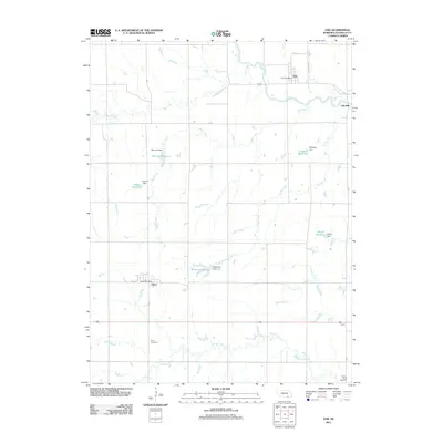
2011 Map of Oak
USGS Topo · Published 2011About this map
Oak and Nora serve as the primary social and economic hubs of this Nuckolls County landscape, where the Little Blue River and its various tributaries define the rural layout. The map details a sophisticated water management system of private and agricultural importance, featuring numerous dams and reservoirs named for local families, including Scroggin, Bauman, Frahm, Williams, and Biltoft. These water features, alongside Elk Creek, Oak Creek, and Turtle Creek, trace the natural drainage patterns into the Little Blue valley. Evidence of local industry and community life is found at the Oak Mill and the respective post offices in both settlements. Genealogists will find particular value in the locations of Nora Cemetery and Spring Creek Cemetery, which anchor the history of these farming communities during the early 21st century.
Find a feature on this map
29 named features on this map. Tap any name to fly to it.
Don’t see what you’re looking for? This feature index may not catch every label — zoom into the map to look around manually.
Map Details
Editions of this 2011 Oak Map
This is the sole edition of this map. No revisions or reprints were ever made.
Other maps of this area

1898 · Superior
USGS Topo · 1:125,000

1898 · Hebron
USGS Topo · 1:125,000

1955 · Lincoln
USGS Topo · 1:250,000

1955 · Grand Island
USGS Topo · 1:250,000

1957 · Lincoln
USGS Topo · 1:250,000

1957 · Grand Island
USGS Topo · 1:250,000

1958 · Grand Island
USGS Topo · 1:250,000

1958 · Lincoln
USGS Topo · 1:250,000

1960 · Byron
USGS Topo · 1:24,000

1960 · Edgar
USGS Topo · 1:24,000