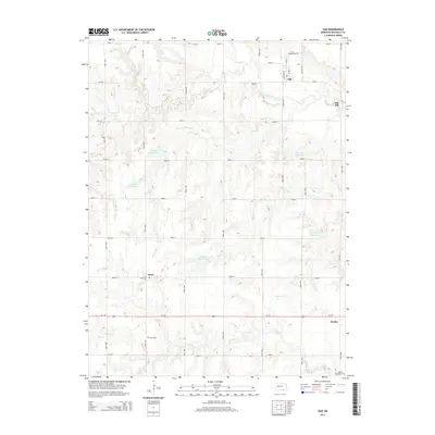
2014 Map of Oak
USGS Topo · Published 2014About this map
The Little Blue River cuts a winding path through this portion of Nuckolls County, defining a landscape marked by small agricultural hubs and a network of named watercourses. The settlement of Oak sits near the northern bank of the river, connected to surrounding farmsteads by Road St and the Ne-65a-Spur. Further south, the community of Nora is situated along Us-136, serving as a central point for local landmarks such as Nora Cem and nearby Frahm Reservoir.
Find a feature on this map
41 named features on this map. Tap any name to fly to it.
Don’t see what you’re looking for? This feature index may not catch every label — zoom into the map to look around manually.
Map Details
Editions of this 2014 Oak Map
This is the sole edition of this map. No revisions or reprints were ever made.
Other maps of this area

1898 · Superior
USGS Topo · 1:125,000

1898 · Hebron
USGS Topo · 1:125,000

1955 · Lincoln
USGS Topo · 1:250,000

1955 · Grand Island
USGS Topo · 1:250,000

1957 · Lincoln
USGS Topo · 1:250,000

1957 · Grand Island
USGS Topo · 1:250,000

1958 · Grand Island
USGS Topo · 1:250,000

1958 · Lincoln
USGS Topo · 1:250,000

1960 · Byron
USGS Topo · 1:24,000

1960 · Edgar
USGS Topo · 1:24,000