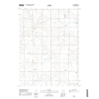
2017 Map of Oak
USGS Topo · Published 2017About this map
The Little Blue River winds through the northern portion of this Nuckolls County landscape, where the settlement of Oak serves as a local hub near the Oak Mill. The terrain is defined by a dense network of water management features, including the Bauman Reservoir, Frahm Reservoir, and Scroggin Reservoir, which capture runoff from the various creeks that dissect the plains. To the south, the small communities of Nora and Ruskin anchor the agricultural grid. Genealogists and local historians can locate established burial grounds such as Nora Cem and Spring Creek Cem, which reflect the long-standing family roots in this rural Nebraska territory. The transition from the river valley to the upland draws, such as Turtle Cr and Thawes Cr, illustrates the importance of water access for the regional farmsteads connected by an extensive system of numbered roads.
Find a feature on this map
43 named features on this map. Tap any name to fly to it.
Don’t see what you’re looking for? This feature index may not catch every label — zoom into the map to look around manually.
Map Details
Editions of this 2017 Oak Map
This is the sole edition of this map. No revisions or reprints were ever made.
Other maps of this area

1898 · Superior
USGS Topo · 1:125,000

1898 · Hebron
USGS Topo · 1:125,000

1955 · Lincoln
USGS Topo · 1:250,000

1955 · Grand Island
USGS Topo · 1:250,000

1957 · Lincoln
USGS Topo · 1:250,000

1957 · Grand Island
USGS Topo · 1:250,000

1958 · Grand Island
USGS Topo · 1:250,000

1958 · Lincoln
USGS Topo · 1:250,000

1960 · Byron
USGS Topo · 1:24,000

1960 · Edgar
USGS Topo · 1:24,000