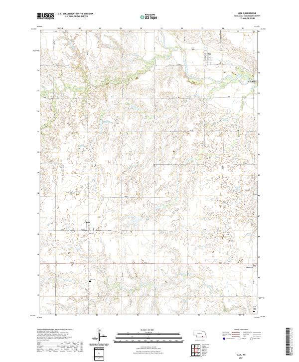
2021 Map of Oak
USGS Topo · Published 2021About this map
The Little Blue River cuts across the northeastern corner of this rural Nuckolls County landscape, where the small community of Oak sits along the northern edge. The area is defined by its agricultural character and an intricate network of waterways, including Elk Cr and the winding Turtle Cr. For family historians, the map provides precise locations for the Nora Cem and Spring Creek Cem, while also identifying the site of Oak Mill. Small reservoirs such as Scroggin Reservoir, Bauman Reservoir, and Biltoft Reservoir are scattered throughout the sections, reflecting the local water management essential to the Great Plains. The map also documents the positions of Nora and the edge of Ruskin, connected by a grid of rural roads like Road N and RD K that trace the township lines of the original land survey.
Find a feature on this map
34 named features on this map. Tap any name to fly to it.
Don’t see what you’re looking for? This feature index may not catch every label — zoom into the map to look around manually.
Map Details
Editions of this 2021 Oak Map
This is the sole edition of this map. No revisions or reprints were ever made.
Other maps of this area

1898 · Superior
USGS Topo · 1:125,000

1898 · Hebron
USGS Topo · 1:125,000

1955 · Lincoln
USGS Topo · 1:250,000

1955 · Grand Island
USGS Topo · 1:250,000

1957 · Lincoln
USGS Topo · 1:250,000

1957 · Grand Island
USGS Topo · 1:250,000

1958 · Grand Island
USGS Topo · 1:250,000

1958 · Lincoln
USGS Topo · 1:250,000

1960 · Byron
USGS Topo · 1:24,000

1960 · Edgar
USGS Topo · 1:24,000