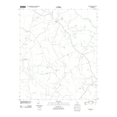
2011 Map of Oak Park
USGS Topo · Published 2011About this map
The Ohoopee River and its network of tributaries define this landscape in southeastern Georgia, where the settlement of Oak Park serves as a local crossroads. The area is characterized by a high density of small family and community burial grounds, such as Morris Cemetery, Waters Cemetery, and White Chapel Cemetery, which offer valuable data points for genealogists tracing local lineage.
Find a feature on this map
69 named features on this map. Tap any name to fly to it.
Don’t see what you’re looking for? This feature index may not catch every label — zoom into the map to look around manually.
Map Details
Editions of this 2011 Oak Park Map
This is the sole edition of this map. No revisions or reprints were ever made.
Other maps of this area

1957 · Macon
USGS Topo · 1:250,000

1958 · Macon
USGS Topo · 1:250,000

1964 · Macon
USGS Topo · 1:250,000

1970 · Cobbtown
USGS Topo · 1:24,000

1970 · Oak Park SW
USGS Topo · 1:24,000

1970 · Covena
USGS Topo · 1:24,000

1970 · Nunez
USGS Topo · 1:24,000

1970 · Vidalia
USGS Topo · 1:24,000

1970 · Ohoopee
USGS Topo · 1:24,000

1970 · Lyons
USGS Topo · 1:24,000