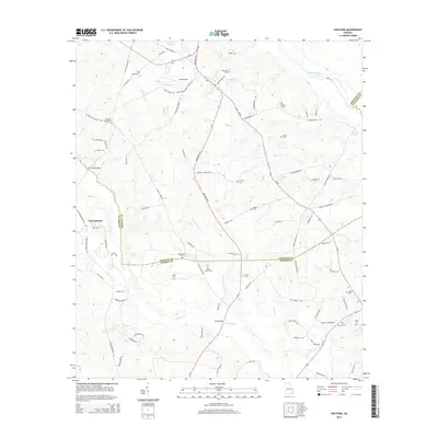
2014 Map of Oak Park
USGS Topo · Published 2014About this map
The Pendleton Cr and Reedy Cr systems define this landscape south of the Ohoopee River, where the borders of Toombs, Emanuel, and Candler counties meet. In the early 21st century, the settlement of Normantown stands as a primary hub alongside Holt Airpark. The area is densely marked with family and community landmarks, reflecting a deep genealogical footprint throughout the rural countryside. Numerous burial sites including White Chapel Cem, Oak Park Cem, and Williamson Cem are scattered across the terrain. Key crossings like Thompson Bridge and Long Bridge facilitate travel between these agrarian communities, while the road network is punctuated by avian-named routes like Hummingbird RD and Bluejay RD. This survey captures the region's enduring character as a network of creekside settlements and private estates centered around the historic Georgia-46 and Oak Park Highway corridors.
Find a feature on this map
84 named features on this map. Tap any name to fly to it.
Don’t see what you’re looking for? This feature index may not catch every label — zoom into the map to look around manually.
Map Details
Editions of this 2014 Oak Park Map
This is the sole edition of this map. No revisions or reprints were ever made.
Other maps of this area

1957 · Macon
USGS Topo · 1:250,000

1958 · Macon
USGS Topo · 1:250,000

1964 · Macon
USGS Topo · 1:250,000

1970 · Cobbtown
USGS Topo · 1:24,000

1970 · Oak Park SW
USGS Topo · 1:24,000

1970 · Covena
USGS Topo · 1:24,000

1970 · Nunez
USGS Topo · 1:24,000

1970 · Vidalia
USGS Topo · 1:24,000

1970 · Ohoopee
USGS Topo · 1:24,000

1970 · Lyons
USGS Topo · 1:24,000