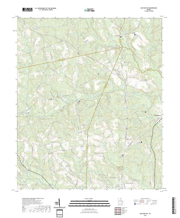
2024 Map of Oak Park SW
USGS Topo · Published 2024About this map
The rolling countryside of southeastern Georgia is intricately detailed in this survey of the region where Treutlen, Montgomery, Emanuel, and Toombs counties converge. The small settlement of Normantown serves as a primary hub for this rural landscape, which is defined by a dense network of local family-named routes such as Mosley Town Rd and Ben Boatright Rd.
Find a feature on this map
82 named features on this map. Tap any name to fly to it.
Don’t see what you’re looking for? This feature index may not catch every label — zoom into the map to look around manually.
Map Details
Editions of this 2024 Oak Park SW Map
This is the sole edition of this map. No revisions or reprints were ever made.
Other maps of this area

1957 · Macon
USGS Topo · 1:250,000

1958 · Macon
USGS Topo · 1:250,000

1964 · Macon
USGS Topo · 1:250,000

1970 · Oak Park SW
USGS Topo · 1:24,000

1970 · Covena
USGS Topo · 1:24,000

1970 · Mount Vernon
USGS Topo · 1:24,000

1970 · Nunez
USGS Topo · 1:24,000

1970 · Vidalia
USGS Topo · 1:24,000

1970 · Lyons
USGS Topo · 1:24,000

1970 · Oak Park
USGS Topo · 1:24,000