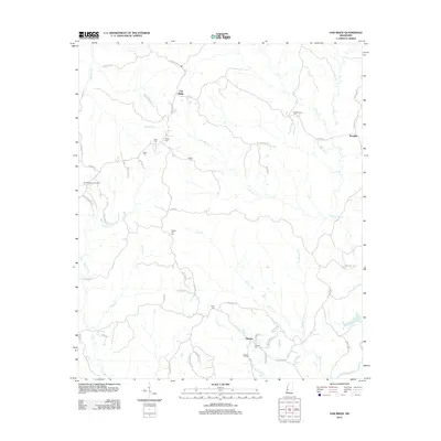
2012 Map of Oak Ridge
USGS Topo · Published 2012About this map
Oak Ridge and Rawhide anchor this 2012 topographic survey of Warren County, where the terrain is defined by an intricate network of creeks feeding the Big Black River along the southern edge. The map reveals a landscape heavily dotted with family and community burial grounds, such as Brickhouse Cem, Flower Hill Cem, and Oakland Cem, suggesting a long history of local settlement and genealogical significance.
Find a feature on this map
52 named features on this map. Tap any name to fly to it.
Don’t see what you’re looking for? This feature index may not catch every label — zoom into the map to look around manually.
Map Details
Editions of this 2012 Oak Ridge Map
This is the sole edition of this map. No revisions or reprints were ever made.
Other maps of this area

1918 · Vicksburg
USGS Topo · 1:62,500

1938 · Edwards
USGS Topo · 1:62,500

1939 · Onward
USGS Topo · 1:62,500

1940 · Mechanicsburg
USGS Topo · 1:62,500

1941 · Vicksburg
USGS Topo · 1:62,500

1955 · Jackson
USGS Topo · 1:250,000

1961 · Jackson
USGS Topo · 1:250,000

1962 · Jackson
USGS Topo · 1:250,000

1962 · Redwood
USGS Topo · 1:24,000

1962 · Vicksburg East
USGS Topo · 1:24,000