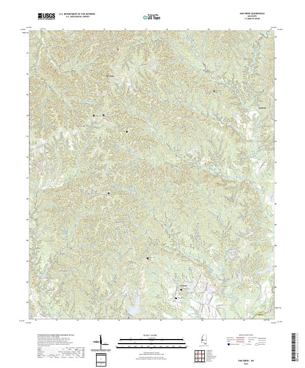
2024 Map of Oak Ridge
USGS Topo · Published 2024About this map
Oak Ridge and the surrounding rural communities of Warren Co and Hinds Co are defined by the intricate network of ridges and creek valleys feeding into the Big Black River. This high-resolution survey documents the scattered settlements and family-named landmarks typical of this section of Mississippi, from the northern heights at Rawhide to the southern reach near Flowers. The landscape is heavily marked by local family history, preserved through numerous small burial grounds such as Brickhouse Cem, Neely Cem, Hackler Cem, and Flower Hill Cem. A complex web of ridge-top roads, including Dillon Ridge Rd and Youngtown Rd, connects these upland sites across the drainage basins of Ballground Creek, Cowan Creek, and Little Bear Creek. The mapping provides a precise account of the modern rural infrastructure, showing the persistence of traditional place names and the distribution of residential structures along the winding road network.
Find a feature on this map
57 named features on this map. Tap any name to fly to it.
Don’t see what you’re looking for? This feature index may not catch every label — zoom into the map to look around manually.
Map Details
Editions of this 2024 Oak Ridge Map
This is the sole edition of this map. No revisions or reprints were ever made.
Other maps of this area

1918 · Vicksburg
USGS Topo · 1:62,500

1938 · Edwards
USGS Topo · 1:62,500

1939 · Onward
USGS Topo · 1:62,500

1940 · Mechanicsburg
USGS Topo · 1:62,500

1941 · Vicksburg
USGS Topo · 1:62,500

1955 · Jackson
USGS Topo · 1:250,000

1961 · Jackson
USGS Topo · 1:250,000

1962 · Jackson
USGS Topo · 1:250,000

1962 · Redwood
USGS Topo · 1:24,000

1962 · Vicksburg East
USGS Topo · 1:24,000