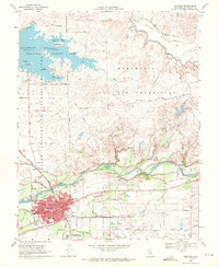
1968 Map of Oakdale
USGS Topo · Published 1972About this map
Oakdale serves as the focal point of this late 1960s study, situated where the central valley meets the rising topography of the Rancho Del Rio Estanislao. The town is well-established with essential civic landmarks such as City Hall, Hospital, and several educational facilities including Oakdale High School and Eastside School. Transportation networks converge here, with the Southern Pacific and Atchison Topeka and Santa Fe railroads facilitating the regional movement of goods and people.
Find a feature on this map
53 named features on this map. Tap any name to fly to it.
Don’t see what you’re looking for? This feature index may not catch every label — zoom into the map to look around manually.
Map Details
Editions of this 1968 Oakdale Map
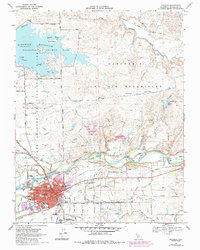
2 editions found
Other maps of this area

1915 · Oakdale
USGS Topo · 1:31,680

1915 · Trigo
USGS Topo · 1:31,680

1915 · Paulsell
USGS Topo · 1:31,680

1915 · Thalheim
USGS Topo · 1:31,680

1916 · Riverbank
USGS Topo · 1:31,680

1916 · Waterford
USGS Topo · 1:31,680

1916 · Bachelor Valley
USGS Topo · 1:31,680

1916 · Copperopolis
USGS Topo · 1:62,500

1939 · Modesto East
USGS Topo · 1:62,500

1942 · Farmington
USGS Topo · 1:62,500