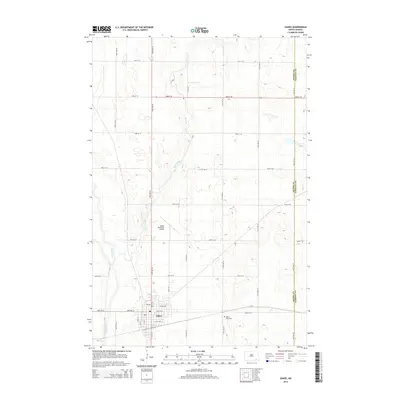
2014 Map of Oakes
USGS Topo · Published 2014About this map
Oakes sits at a critical junction of agriculture and regional transit on the southeastern North Dakota prairie. This 2014 survey captures the town's grid during a period of modern stability, anchored by the Oakes Municipal Airport to the north and the quiet grounds of Oakes View Cem to the east. The landscape is defined by the winding course of the James River, which cuts through the western portion of the quadrangle, while the smaller Bear Creek meanders south toward the town center. The map documents the precise local road network, including Main Ave W and various county routes like CR-3, which serve the surrounding farmland. Tracing the eastern edge of the survey, the Dickey Co Sargent Co line marks the administrative boundary between these two rural counties, providing a clear record of property and political divisions in the 21st century.
Find a feature on this map
29 named features on this map. Tap any name to fly to it.
Don’t see what you’re looking for? This feature index may not catch every label — zoom into the map to look around manually.
Map Details
Editions of this 2014 Oakes Map
This is the sole edition of this map. No revisions or reprints were ever made.
Other maps of this area
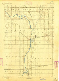
1894 · Oakes
USGS Topo · 1:62,500
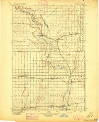
1895 · Lamoure
USGS Topo · 1:125,000
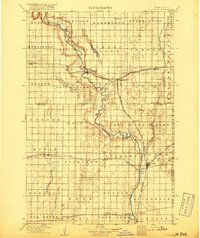
1918 · La Moure
USGS Topo · 1:125,000
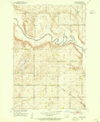
1952 · Glover
USGS Topo · 1:24,000
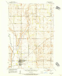
1952 · Oakes
USGS Topo · 1:24,000
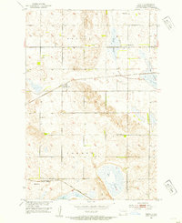
1952 · Crete
USGS Topo · 1:24,000
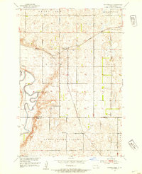
1952 · Independence
USGS Topo · 1:24,000

1953 · Jamestown
USGS Topo · 1:250,000

1953 · Fargo
USGS Topo · 1:250,000
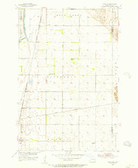
1955 · Oakes SE
USGS Topo · 1:24,000