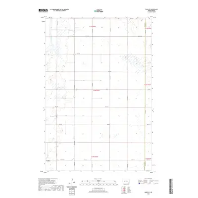
2020 Map of Oakes SE
USGS Topo · Published 2020About this map
Ludden stands as the primary settlement in this corner of Dickey County, situated along the southwestern edge of the survey area. The landscape is characterized by the meandering path of the James River, which cuts through the northwestern sections, surrounded by a dense network of seasonal wetlands and small basins. The map illustrates a strictly organized grid of agricultural development, defined by numbered township boundaries including t131n r59w and t130n r59w. This rectilinear road system, featuring routes like Co Rd 14 B and 97th St SE, highlights the intensive section-line planning typical of the North Dakota plains. The interface between the river valley and the surrounding prairie sections provides a clear view of how drainage patterns influenced local road placement and field boundaries in the late twentieth century.
Find a feature on this map
26 named features on this map. Tap any name to fly to it.
Don’t see what you’re looking for? This feature index may not catch every label — zoom into the map to look around manually.
Map Details
Editions of this 2020 Oakes SE Map
This is the sole edition of this map. No revisions or reprints were ever made.
Other maps of this area

1894 · Hecla
USGS Topo · 1:62,500

1894 · Oakes
USGS Topo · 1:62,500

1895 · Lamoure
USGS Topo · 1:125,000

1896 · Columbia
USGS Topo · 1:125,000

1918 · La Moure
USGS Topo · 1:125,000

1952 · Glover
USGS Topo · 1:24,000

1952 · Oakes
USGS Topo · 1:24,000

1952 · Crete
USGS Topo · 1:24,000

1953 · Jamestown
USGS Topo · 1:250,000

1953 · Milbank
USGS Topo · 1:250,000