Loading...
Loading map...2024 Map of Oakfield
USGS Topo · Published 2024About this map
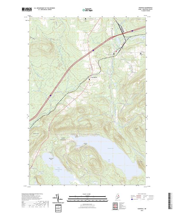
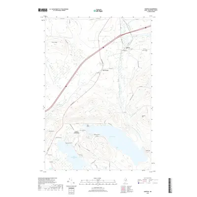
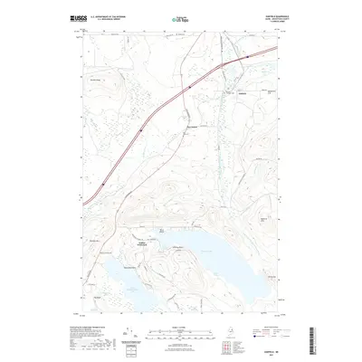
Upper Mattawamkeag Lake and Pleasant Lake anchor the southern reaches of this Aroostook County landscape, where the waters flow through the East Branch Mattawamkeag River valley. The village of Oakfield serves as the primary hub in the northeast, historically shaped by its position along the rail corridor. Further west, the smaller settlement of Dyer Brook is situated near the Dyer Brook waterway, which cuts through the high ground of DeLette Ridge.
Find a feature on this map
61 named features on this map. Tap any name to fly to it.
Don’t see what you’re looking for? This feature index may not catch every label — zoom into the map to look around manually.
Map Details
Date Portrayed2024
Date Published2024
PublisherU.S. Geological Survey
Map TypeTopographic
Scale1:24,000
Physical Dimensions24 x 29 inches
Editions of this 2024 Oakfield Map
This is the sole edition of this map. No revisions or reprints were ever made.
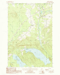
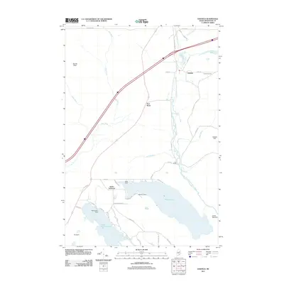
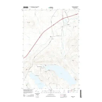
Historical Maps of Island Falls Through Time
8 maps found


Featured Locations
Source Details
SourceU.S. Geological Survey
CopyrightPublic Domain