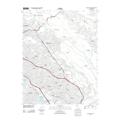
2012 Map of Oakland East
USGS Topo · Published 2012About this map
Montclair and the Dimond District sit at the heart of this East Bay landscape, where urban density meets the steep transitions of the Berkeley Hills. The map traces the intricate street networks of neighborhoods like Rockridge, Crocker Highlands, and Maxwell Park, while highlighting the large institutional footprints of Mills College and Holy Names University. Infrastructure is a defining element, from the subterranean paths of the Caldecott Tunnels and Rapid Transit Tunnel to the elevated spans of the Leimert Bridge.
Find a feature on this map
89 named features on this map. Tap any name to fly to it.
Don’t see what you’re looking for? This feature index may not catch every label — zoom into the map to look around manually.
Map Details
Editions of this 2012 Oakland East Map
This is the sole edition of this map. No revisions or reprints were ever made.
Other maps of this area

1892 · San Mateo
USGS Topo · 1:62,500

1895 · San Francisco
USGS Topo · 1:62,500

1896 · San Mateo
USGS Topo · 1:62,500

1897 · Concord
USGS Topo · 1:62,500

1899 · San Francisco
USGS Topo · 1:62,500

1899 · Haywards
USGS Topo · 1:62,500

1899 · San Mateo
USGS Topo · 1:62,500

1915 · San Mateo
USGS Topo · 1:62,500

1915 · Haywards
USGS Topo · 1:62,500

1915 · Concord
USGS Topo · 1:62,500