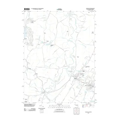
2011 Map of Oakland
USGS Topo · Published 2011About this map
Oakland serves as the focal point of this western Maryland landscape, situated along the Youghiogheny River and Wilson Run. The map illustrates a developed corridor reaching toward Mountain Lake Park, characterized by civic institutions like the Oakland Post Office and Oakland Cemetery. To the west, the settlements of Crellin, Hutton, and Corinth follow the path of Snowy Creek, reflecting the historical rail and resource patterns of the region.
Find a feature on this map
157 named features on this map. Tap any name to fly to it.
Don’t see what you’re looking for? This feature index may not catch every label — zoom into the map to look around manually.
Map Details
Editions of this 2011 Oakland Map
This is the sole edition of this map. No revisions or reprints were ever made.
Other maps of this area

1886 · St. George
USGS Topo · 1:125,000

1891 · St. George
USGS Topo · 1:125,000

1895 · Piedmont
USGS Topo · 1:125,000

1899 · Oakland
USGS Topo · 1:62,500

1900 · Accident
USGS Topo · 1:62,500

1900 · Oakland
USGS Topo · 1:62,500

1904 · Bruceton
USGS Topo · 1:62,500

1907 · Kingwood
USGS Topo · 1:62,500

1925 · Kingwood
USGS Topo · 1:62,500

1926 · Bruceton
USGS Topo · 1:62,500