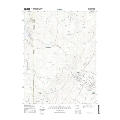
2014 Map of Oakland
USGS Topo · Published 2014About this map
Oakland and the neighboring communities of Mountain Lake Park and Loch Lynn Heights center this 2014 survey of western Maryland’s high-country terrain. The region's transport and water infrastructure are clearly defined, showing the CSX Transportation rail corridor threading through the settlements and the Youghiogheny River winding northward toward Tatlor Cem. Local history is preserved in the location of the Oakland Cem and the Ashby Cem near Crellin.
Find a feature on this map
178 named features on this map. Tap any name to fly to it.
Don’t see what you’re looking for? This feature index may not catch every label — zoom into the map to look around manually.
Map Details
Editions of this 2014 Oakland Map
This is the sole edition of this map. No revisions or reprints were ever made.
Other maps of this area

1886 · St. George
USGS Topo · 1:125,000

1891 · St. George
USGS Topo · 1:125,000

1895 · Piedmont
USGS Topo · 1:125,000

1899 · Oakland
USGS Topo · 1:62,500

1900 · Accident
USGS Topo · 1:62,500

1900 · Oakland
USGS Topo · 1:62,500

1904 · Bruceton
USGS Topo · 1:62,500

1907 · Kingwood
USGS Topo · 1:62,500

1925 · Kingwood
USGS Topo · 1:62,500

1926 · Bruceton
USGS Topo · 1:62,500